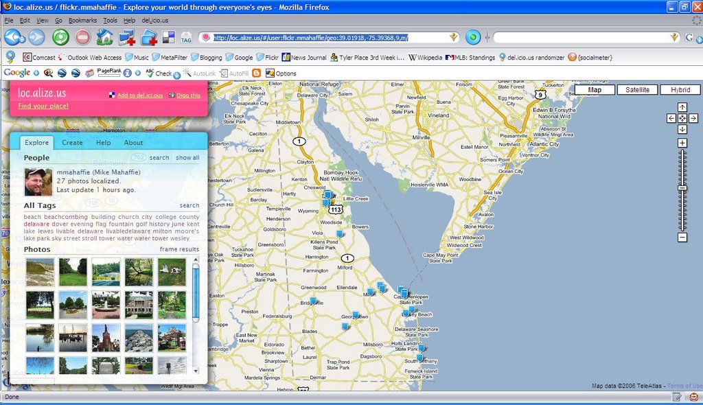
 Here's a new toy that appeals both to my avocation and to my occupation. A new google/flickr mash-up called loc.aliz.us offers a way to present photos in a map format, based on latitude and longitude tags.
This photo of the fountain in the Circle in Georgetown, for example, was taken at latitude 38.690032 and longitude -75.385909.
I've been working through some of my photos and adding location tags. I'll try to keep that up.
1 comment:
this is so cool! thanks for sharing, i'm going to add this to the Tour de Delaware pictures! Blog For Delaware dot org
Post a Comment
Note: Only a member of this blog may post a comment.